Efforts to develop new whale research methods using small unmanned aerial vehicles (UAVs)
-ICR's participating in Japan Drone 2021 Expo-
June 4, 2021
Designated Corporation for Scientific Whale Research
THE INSTITUTE OF CETACEAN RESEARCH
The Institute of Cetacean Research (ICR) is pleased to announce that we will present the results of our development of a UAV for aerial visual cetacean research at Japan Drone 2021 and exhibit our aircraft as follows.
Name of Exhibition:Japan Drone 2021 - 6th Expo for Commercial UAS Market
Date:June 14 (Mon.) - 16 (Wed.), 2021 (10:00 - 17:00)
Venue:Makuhari Messe (Chiba City, Japan)
Organizer:Japan UAS Industrial Development Association (JUIDA)
Since 2019, ICR has been working on the development of new whale research methods using small unmanned aerial vehicles (UAVs). We have developed a new VTOL-UAV (Vertical Take-off and Landing type, Autonomous Unmanned Aerial Vehicle) to operate on a large research vessel, and have conducted tests in the open ocean including the Antarctic Ocean.
In March 2021, one of our small UAVs achieved an autonomous flight distance of 51km in the North Pacific Ocean, a UAV Japanese record*, and conducted finless porpoise (Neophocaena phocaenoides, a small cetacean belonging to the Family Phocoenidae) aerial visual surveys in Mikawa Bay, Aichi Prefecture, by taking off from and landing on a research vessel underway. We conducted a total of six such aerial visual surveys (total distance: 71.2km), and succeeded in detecting and identifying three finless porpoise pods (4 individuals).
* Note: According to our research, this is a domestic record for flight distance under the conditions of Level 3 flight (unmanned area with no visual line of sight and no assistants) as specified in the "Roadmap for the Industrial Revolution in the Sky" promoted by Japan.
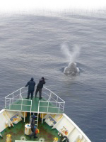
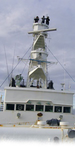
Currently, cetacean sighting surveys are conducted by (multiple) skilled observers who determine the species and number of cetaceans observed by sight from a research ship, but in the future, UAVs are expected to be used to complement the shortage of skilled observers and the limitations of visual inspection (such as missing cetaceans during sighting survey duty). In addition, the use of UAVs will make possible to collect visual data and environmental data from the sky even in shallow waters, areas where fishing gear is installed, and areas in the Antarctic Ocean where it is difficult for research vessels to survey, such as polynyas (areas of open water surrounded by sea ice). We believe that this will enable us to obtain information from a wider range of oceanographic conditions and sea areas, and to produce more precise resource research outcomes.
As a result of countermeasures taken against many obstacles faced in previous tests, such as strong winds at sea, hull swaying, magnetic disturbance and radio wave interference on board, and geomagnetic deviation in the Polar Regions, our newly developed aircraft is capable of stable operation on board. We are planning to use it in various research projects such as the Japanese Abundance and Stock-structure Surveys in the Antarctic (JASS-A).
Newly-developed VTOL-UAV’s major details:
Name: Prototype "ASUKA" Mk 4
Overall lengh: 1,920mm
Wing length: 2,500mm
Overall height: 620mm
Body weight: 12.44kg
Cruising range: Approx. 100km (51km in Level 3 flight mode)
Maximum speed: 160km/h
Payload: 5kg maximum
Seaworthiness: Normal operation at 20kt wind speed, level flight maintained at 40kt wind speed
Developed by:The Institute of Cetacean Research
Others: Patent pending for core technology
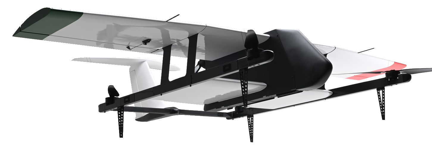
Photo 1: VTOL-UAV "ASUKA" aircraft
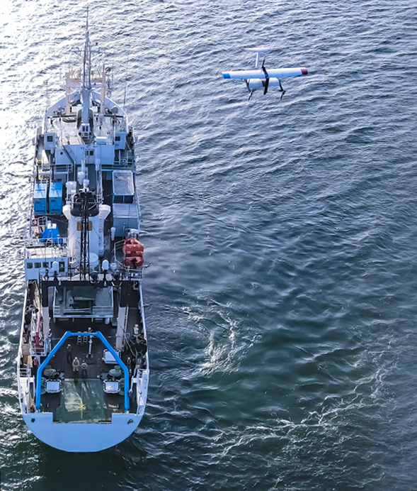
Photo 2: VTOL-UAV "ASUKA" undergoing vertical take-off and launch from the research vessel
